A street-level study · East Stonehouse, Plymouth
Chapel Street
A snapshot of a street in 1901
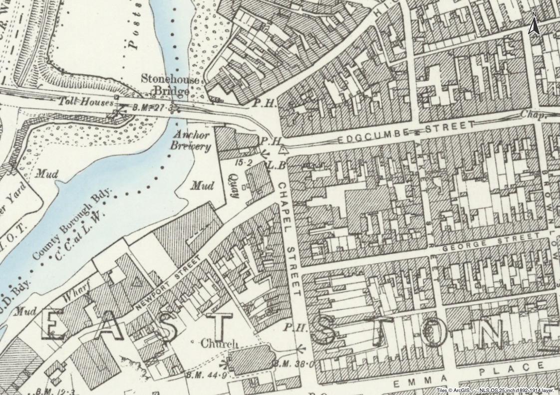
Chapel Street is no longer to be found on a map. Chapel Street became part of Durnford Street. East Stonehouse is now part of Plymouth. Most of the original street no longer exists.
Initial research shows a Victorian street that was full of shops, pubs, breweries and businesses, as well as being densely populated.
What else can we discover about who was living on the street, what kind of work they were doing, and where they had come from?
This is a personal research project, quietly ongoing. The first stage focuses on the street at the time of the 1901 census — 41 addresses, 28 businesses, 285 people.
It is registered with the Society for One-Place Studies.